
- 6.7 km (4.2 miles)there and back
- 370 mof climbing (1,211 ft)
- About 2 hwalking time; relaxed 3 h
- Moderatea proper hill walk
Loading the map…
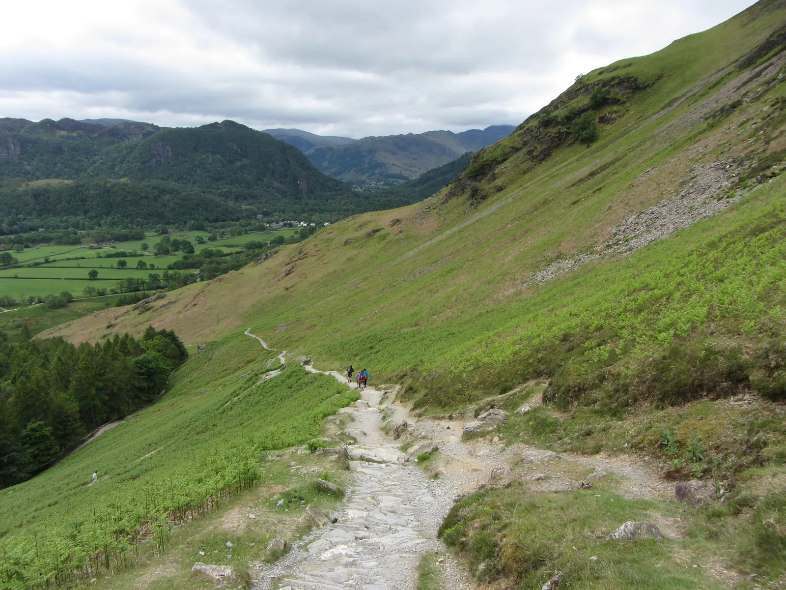
Terrain: A quiet lane to Manesty, a pitched stone path slanting up the hillside to Hause Gate, then the broad south ridge to the summit: steady climbing, with no scrambling.
Start: Grange Bridge Bus Stop. Google Maps · Apple Maps · grid ref NY 254 174
The Walk
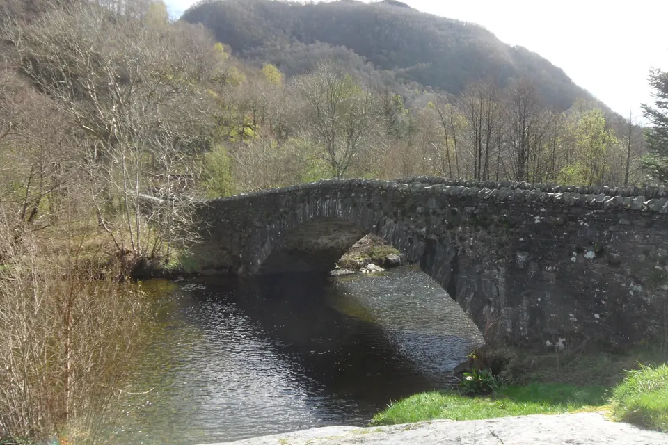
Grange Bridge to Manesty. From the bus stop on the main road, cross the double-arched bridge over the River Derwent into Grange. Walk through the village and keep on the lane as it bends north along the foot of the fells towards Manesty, about 1.3 km. It's a quiet lane, but it's narrow and has no pavement, so walk facing the traffic.
Manesty to Hause Gate. Just past the houses at Manesty, a path leaves the lane on the left and climbs the open fellside. It slants steadily uphill across the slope on a pitched stone surface, with Derwentwater widening behind you. After about 250 m of climbing it arrives at Hause Gate, the dip in the ridge between Catbells and Maiden Moor.
Hause Gate to the summit. Turn right. The south ridge is broad and grassy and rises about 70 m to the bare rock of the summit. The view north, hidden until the last few steps, arrives all at once: Derwentwater, Keswick and Skiddaw.
Back. Return the same way. The stone path down from Hause Gate is a much kinder descent than the north ridge, but take it slowly when it's wet.
Why Choose This Way
- No scrambling. The two rock steps that cause most of the slips on Catbells are both on the north ridge. This route doesn't touch them.
- Good with younger children, a baby carrier, a nervous dog or anyone who'd rather keep their hands in their pockets.
- It works in winter. The 78 bus runs to Grange all year, when the launch and the 77 mostly don't.
- It's quiet. Most walkers come and go by Hawes End.
Make It a Traverse
For a walk with no repeated ground, go up from Grange and carry on over the top and down the north ridge to Hawes End, then take the launch or the 77 bus to Keswick. Going down the rock steps is the hard direction, so only do this in the dry. Better still, do it the other way round: launch to Hawes End, over the top, down to Grange and the 78 home.
Getting to the Start
- Bus 78 from Keswick bus station to Grange Bridge, 17 minutes, all year. Bus details.
- By car: we couldn't find a public car park in Grange itself. The National Trust's Bowder Stone car park is on the main road south of the bridge; walking from there adds about 900 m each way.
- Grange has a café in the village; check that it's open before you count on it.
How Steep Is It?
Watch Out For
- The lane between Grange and Manesty is narrow, with no pavement
- The pitched stone path is slippery when wet or icy
- The summit is bare rock, open to the wind
Download the GPX For your phone or GPS. Route data © OpenStreetMap contributors (ODbL).
Before You Go
Conditions on hills change quickly. Take a map, warm and waterproof layers and something to eat, check the mountain forecast (Met Office, MWIS) and turn back if you need to. In an emergency call 999, ask for the police, then Mountain Rescue.