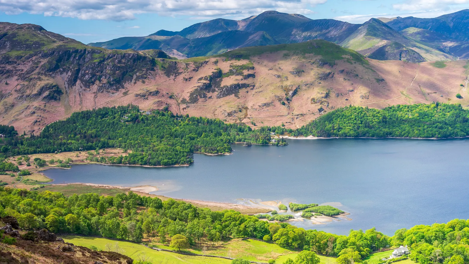

The Classic from Hawes End
The One Most People Do
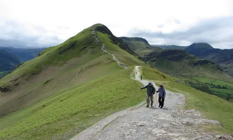
Up the north ridge over Skelgill Bank to the summit, down from Hause Gate and back along the shore of Derwentwater.
- Distance
- 6.9 km
- Climb
- 380 m
- Time
- 2–3 h
On Foot from Keswick
No Car, No Parking Problem
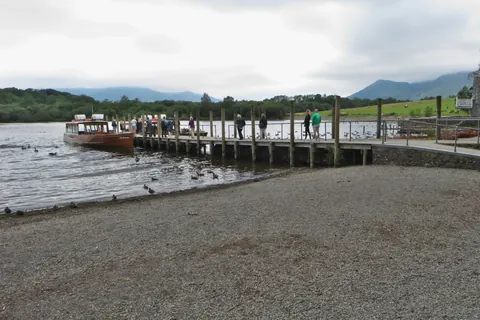
Walk out through Portinscale and the Lingholm woods, climb the north ridge, and take the launch back across Derwentwater from Hawes End.
- Distance
- 10.5 km
- Climb
- 420 m
- Time
- 2¾–4¼ h
The Quieter Way from Grange
No Scrambling
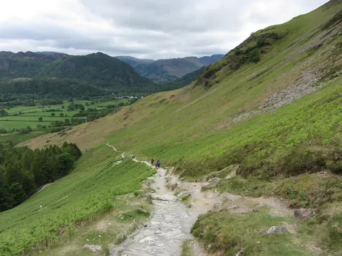
From Grange in Borrowdale, along the lane to Manesty and up the slanting path to Hause Gate, then the easy south ridge to the top.
- Distance
- 6.7 km
- Climb
- 370 m
- Time
- 2–3 h
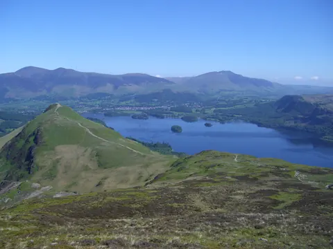
The Newlands Round
A Full Day After Catbells
Carry on along the ridge from Catbells over Maiden Moor to High Spy, then come back down the quiet Newlands valley through Little Town.
- Distance
- 15.1 km
- Climb
- 770 m
- Time
- 4¼–6½ h
Which One?
- First time, or one free morning: the classic from Hawes End. Up the ridge, back by the lake.
- No car, or no wish to look for a space: from Keswick on foot, with the boat home.
- Not keen on scrambling, or walking with younger children: from Grange. It reaches the top from the south, on a path with no rock steps.
- A fine day and legs to spare: the Newlands round carries on along the ridge to High Spy at 653 m.
How Long Each Walk Takes
| Walk | Distance | Climb | To the top | Whole walk |
|---|---|---|---|---|
| The Classic from Hawes End | 6.9 km (4.3 miles) | 380 m | 55 min–1 h 30 | 2 h–3 h |
| On Foot from Keswick | 10 km (6.5 miles) | 420 m | 1 h 45–2 h 45 | 2 h 45–4 h 15 |
| The Quieter Way from Grange | 6.7 km (4.2 miles) | 370 m | 1 h 15–2 h | 2 h–3 h |
| The Newlands Round | 15 km (9.4 miles) | 770 m | 55 min–1 h 30 | 4 h 15–6 h 30 |
Times use Naismith's rule (5 km an hour plus 1 minute for every 10 m of climbing), without stops. The longer figure is a relaxed pace, for example with children. Out-and-back walks include the walk back down.
Loading the map…