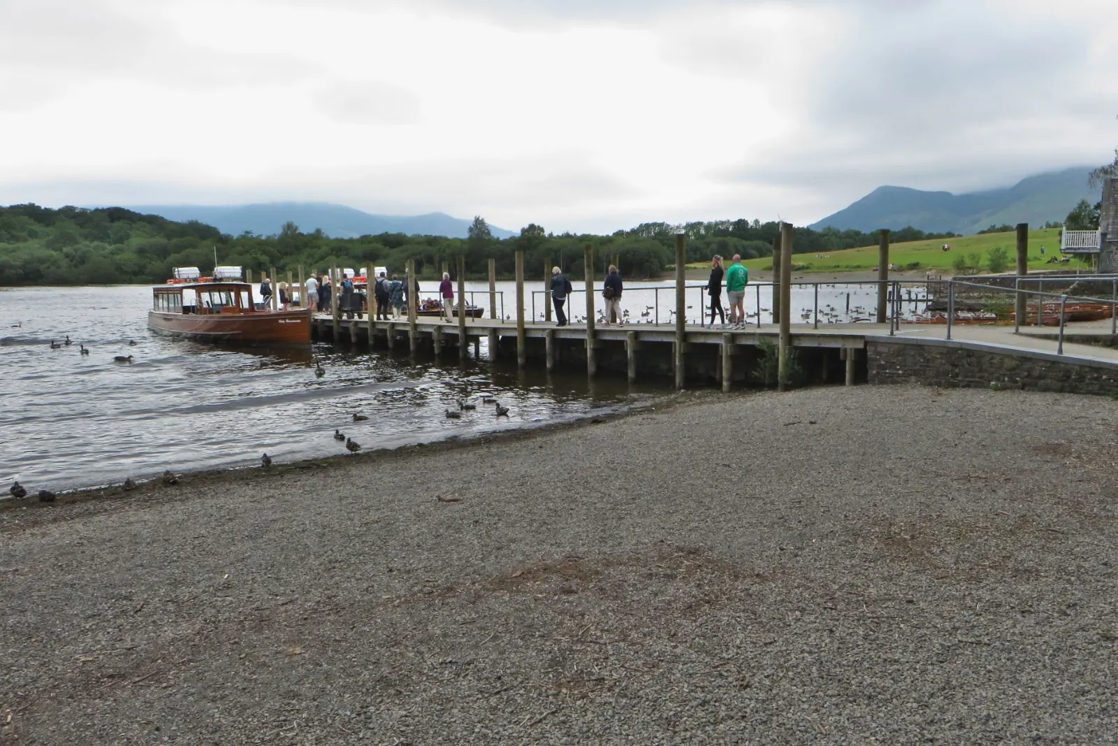

- 10 km (6.5 miles)one way
- 420 mof climbing (1,385 ft)
- About 2 h 45walking time; relaxed 4 h 15
- Moderatea proper hill walk
Loading the map…
Terrain: Pavement and a surfaced field path to Portinscale, a quiet lane and woodland paths to Hawes End, then the stony north ridge with two rocky steps, a pitched path down from Hause Gate and a level path along the lake shore to the jetty.
Start: Keswick Bus Station. Finish: Hawes End Jetty (Keswick Launch). Google Maps · Apple Maps · grid ref NY 262 235
The Walk
Keswick to Portinscale. From the bus station, head out of town along Main Street and cross the River Greta. Just beyond the bridge, take the first left at the "Derwentwater Walk" fingerpost: a wide, level path crosses the fields, then turn left along a minor road and over the suspension footbridge across the River Derwent. On the far side you're in Portinscale: turn left along the lane through the village.
Portinscale to Hawes End. Follow the lane south past the turning for Nichol End, then take the footpath on the left (it's the Cumbria Way) into the woods of Fawe Park and on through the Lingholm estate. (The Lingholm Kitchen café is a short step off the path.) Beyond Lingholm the path crosses a field with Catbells straight ahead, goes through more woodland and comes out on the lane at Hawes End. This is the National Park's signed route to Catbells: 4 km from Keswick, nearly all of it off the road.
Up the ridge. From the cattle grid the route is the same as the classic walk: the steep path to the first rocky step, the level ridge of Skelgill Bank, the second step and the summit. Allow about an hour from the road.
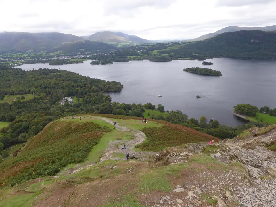
Down and back to the jetty. Continue south to Hause Gate, turn left down the stone path, pick up the terrace path and drop to the lake at High Brandelhow. Follow the shore path north through the woods to the Hawes End jetty.
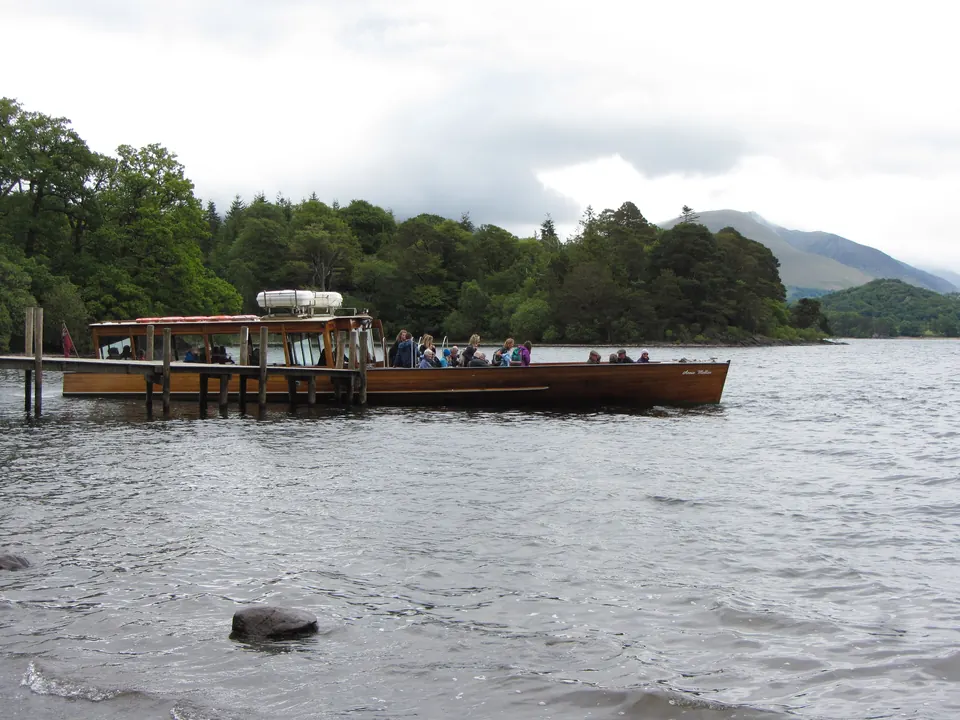
The boat home. From Hawes End the launch takes 10 minutes to Keswick. Check today's last boat before you leave town, and keep an eye on the time at the summit: from the top to the jetty by this route is about 4.5 km, so allow an hour and a quarter.
Other Ways to Arrange It
- Boat out, walk back. Take the 09:45 walkers' boat, climb while it's quiet, and walk home through Lingholm with a café stop. This way there's no last boat to catch.
- Walk both ways. If the boats aren't running (most of the winter), go back the way you came. From the cattle grid it's 4 km and about an hour to Keswick. The whole day is then about 15 km.
- Shorter finish. The launch also stops at High Brandelhow, which saves the last 2 km along the shore.
- Bus instead. From spring to early November the 77A covers the Keswick to Hawes End leg in 11 minutes.
Before You Go
Keswick has everything: toilets at the Lakeside car park, shops for a picnic, and outdoor shops. There are no toilets, shops or taps after Lingholm. If you arrive in Keswick by car, the Lakeside and rugby club car parks are both a short walk from this route.
How Steep Is It?
Watch Out For
- Two rocky steps on the ridge where you use your hands: slippery when wet or icy
- Check the time of the last boat before you set off: if you miss it, it's about 4.5 km (3 miles) back to Keswick on foot
Download the GPX For your phone or GPS. Route data © OpenStreetMap contributors (ODbL).
Before You Go
Conditions on hills change quickly. Take a map, warm and waterproof layers and something to eat, check the mountain forecast (Met Office, MWIS) and turn back if you need to. In an emergency call 999, ask for the police, then Mountain Rescue.