
- 6.9 km (4.3 miles)circular
- 380 mof climbing (1,243 ft)
- About 2 hwalking time; relaxed 3 h
- Moderatea proper hill walk
Loading the map…
Terrain: A steep stony path up the north ridge with two short rocky steps where you use your hands, a pitched stone path down from Hause Gate, then a level woodland path along the lake shore.
Start: Hawes End Cattle Grid. Google Maps · Apple Maps · grid ref NY 247 212
The Walk
Hawes End to Skelgill Bank. From the cattle grid, where the bus stops, walk about 50 metres up the road: the path leaves it at the first bend and goes straight at the hill. (From the launch, walk up from the jetty through the trees to the lane: about 10 minutes.) It zigzags up a steep grass and stone slope and soon reaches the first rocky step, where a plaque remembers Thomas Arthur Leonard, a pioneer of walking holidays. Use your hands; it's over in a minute. Above it the angle eases onto Skelgill Bank, the lower hump of the ridge, and the first full view of Derwentwater.
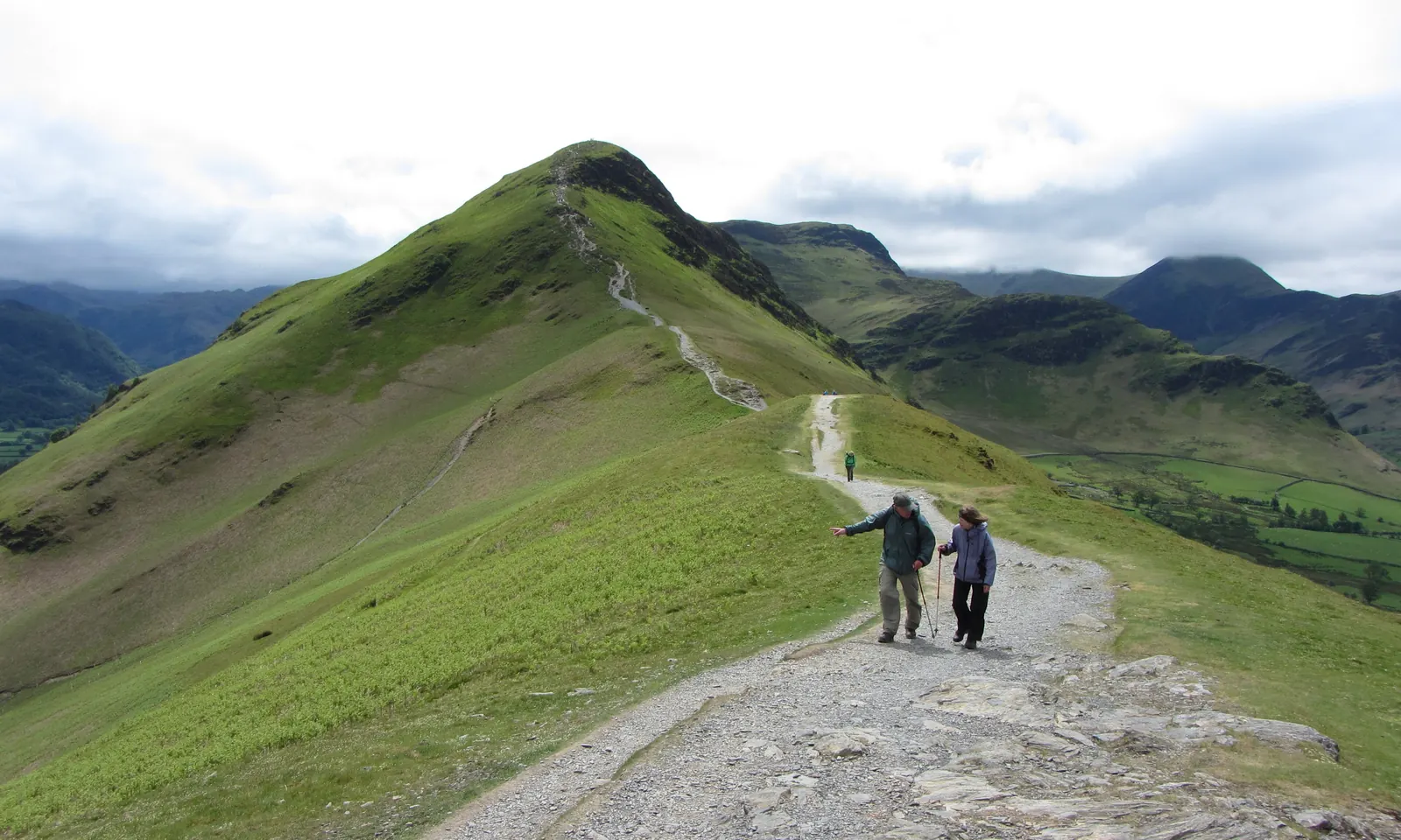
Along the ridge. A broad, nearly level stretch follows, with the lake on your left and the Newlands valley on your right. Ahead, the summit cone looks steeper than it is.
The final climb. The path steepens and reaches the second rocky step just below the top. There are several lines worn into the rock: pick the one that suits you and take your time. Then you're on the summit.
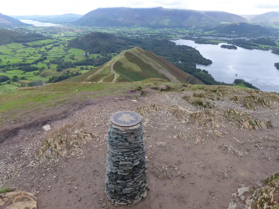
The summit. A bare dome of rock at 451 m with a view indicator and no shelter. Skiddaw stands behind Keswick to the north, Blencathra to its right, Borrowdale runs away to the south, and the whole of Derwentwater is laid out below.
Down to Hause Gate. Carry on south, down an easy slope, to the dip in the ridge called Hause Gate, where paths cross. Turn left, towards the lake. (Right goes down to Little Town in the Newlands valley; straight on climbs to Maiden Moor.)
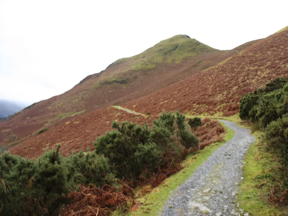
Down to the terrace. A well-made stone path slants down the bracken slope towards Manesty. Before the bottom, a path turns back left along the hillside: the terrace path, which passes the memorial seat to the novelist Hugh Walpole above his old house, Brackenburn.
Back by the lake. Drop to the road, follow it left for about 50 metres, then turn right down to the shore at High Brandelhow. From here the lakeshore path follows the water's edge north through the National Trust's Brandelhow woods, past the High and Low Brandelhow jetties, to the Hawes End jetty. For the bus or the layby, walk back up through the trees to the lane.
Shorter and Longer
- Shorter: stay on the terrace path instead of dropping to the lake. It runs along the hillside above the road all the way back to Hawes End and saves about a kilometre.
- Up and down the same way: 3.6 km in all, but you have to climb down both rock steps. We don't recommend it in the wet.
- Catch the boat sooner: the launch also calls at High Brandelhow and Low Brandelhow, so you can end the walk at either jetty.
Getting to the Start
There is no car park. Take the Keswick Launch or the 77A bus to Hawes End, or see the parking page for the eight-space layby and the Keswick car parks. No toilets or café at the start: the nearest café is the Lingholm Kitchen, 15 to 20 minutes' walk north of Hawes End.
How Steep Is It?
Watch Out For
- Two rocky steps on the ridge, one below Skelgill Bank and one just under the summit: polished and slippery when wet, and awkward in ice
- Steep ground on both sides of the ridge: keep to the path
- The summit is bare rock, open to the wind
- Old mine workings on the slopes: stay out of any holes or levels
Download the GPX For your phone or GPS. Route data © OpenStreetMap contributors (ODbL).
Before You Go
Conditions on hills change quickly. Take a map, warm and waterproof layers and something to eat, check the mountain forecast (Met Office, MWIS) and turn back if you need to. In an emergency call 999, ask for the police, then Mountain Rescue.