
- 15 km (9.4 miles)circular
- 770 mof climbing (2,536 ft)
- About 4 h 15walking time; relaxed 6 h 30
- Hardsteep, rough ground
Loading the map…
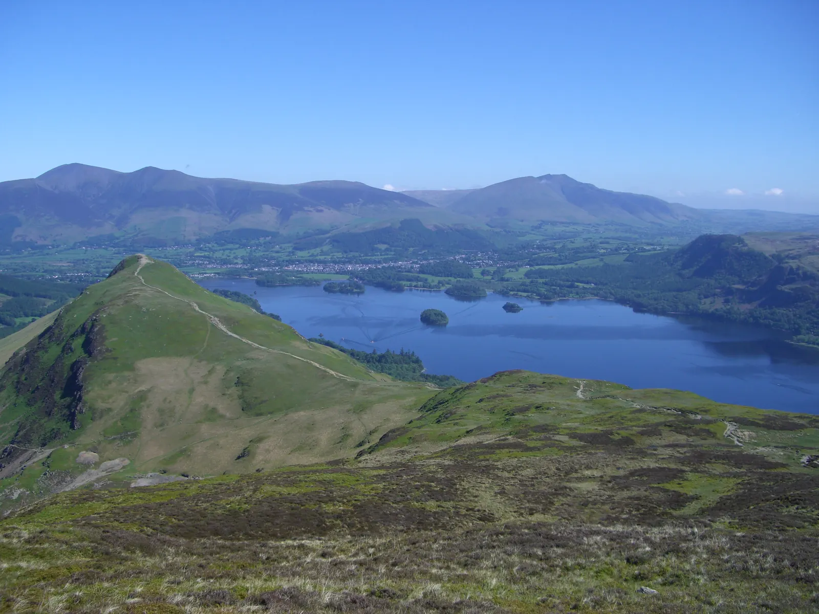
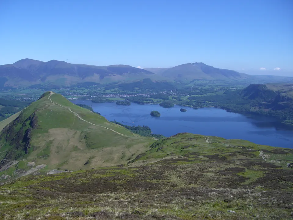
Terrain: The Catbells ridge with its two rocky steps, a long high grassy ridge over Maiden Moor to High Spy at 653 m, a steep rough descent to Dalehead Tarn, then the old mine track down the Newlands valley and lanes back to Hawes End.
Start: Hawes End Cattle Grid. Google Maps · Apple Maps · grid ref NY 247 212
The Walk
Over Catbells. Climb the north ridge from Hawes End exactly as on the classic walk, and drop down the far side to the crossroads of paths at Hause Gate. A little over an hour to here.
Maiden Moor. Go straight on. The path climbs steadily for about 200 m up the broad shoulder ahead, then levels out on Maiden Moor, a wide grassy plateau. The highest point, 575 m, is a little to the right of the main path, near the edge above Newlands, and is easy to walk past.
High Spy. The ridge narrows a little and runs on south for 2 km, almost level at first, then rising to the tall, well-built cairn on High Spy at 653 m, the top of the day. The view has changed completely: Dale Head and Hindscarth across the head of Newlands, the Scafells and Great Gable to the south, and Catbells far below and behind.
Down to Dalehead Tarn. Continue south-west, downhill, on a rougher path that drops about 150 m to the stream below Dalehead Tarn. This is the steepest and wettest part of the walk.
Down the Newlands valley. Before the tarn, turn right (north) and follow the path down beside Newlands Beck. It's stony and steep at first, below the crags of Eel Crags, then becomes an old mine track that runs easily down the long, empty valley for about 4 km to Little Town.
Little Town to Hawes End. From Little Town, the hamlet of Beatrix Potter's Mrs Tiggy-Winkle, a track and field paths lead north along the foot of Catbells to the farm at Skelgill. From there the lane brings you back round the end of the ridge to Hawes End.
Is It for You?
This is a proper fell day: 15 km, 770 m of climbing and four and a half to six and a half hours, with the high part of it a long way from a road. Do it in settled weather. In cloud the top of Maiden Moor is featureless, and you need a map and compass and the skill to use them.
Don't take the path off the ridge towards Grange around Nitting Haws, between Maiden Moor and High Spy. It's marked on maps, and Keswick Mountain Rescue Team warns that it has led to several falls.
Shorter Versions
- Just Maiden Moor: from the top of Maiden Moor, go back to Hause Gate and finish by the classic walk. About 9 km in all.
- Escape from Hause Gate: if the weather turns on Catbells, Hause Gate has good paths down on both sides.
Getting to the Start
As for the classic walk: launch or bus to Hawes End, or see parking. Check the time of the last boat: on this walk you may well finish after it, and it's another hour on foot back to Keswick. There's nothing to eat or drink on the route, and no toilets.
How Steep Is It?
Watch Out For
- Two rocky steps on Catbells where you use your hands
- The ridge beyond Hause Gate is high and broad, with few landmarks in cloud: take a map and compass and know how to use them
- Crags on the Newlands side of Maiden Moor and High Spy: keep to the ridge path
- The descent from High Spy to Dalehead Tarn is steep, rough and wet underfoot
- Old mine workings in the Newlands valley: stay out of them
Download the GPX For your phone or GPS. Route data © OpenStreetMap contributors (ODbL).
Before You Go
Conditions on hills change quickly. Take a map, warm and waterproof layers and something to eat, check the mountain forecast (Met Office, MWIS) and turn back if you need to. In an emergency call 999, ask for the police, then Mountain Rescue.